
Description
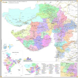
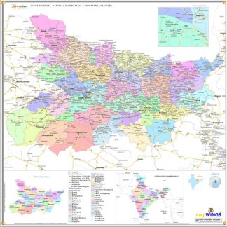
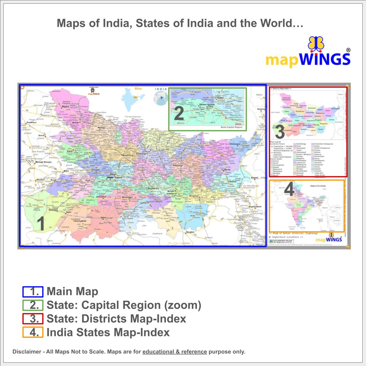
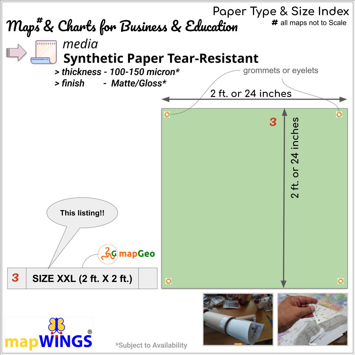
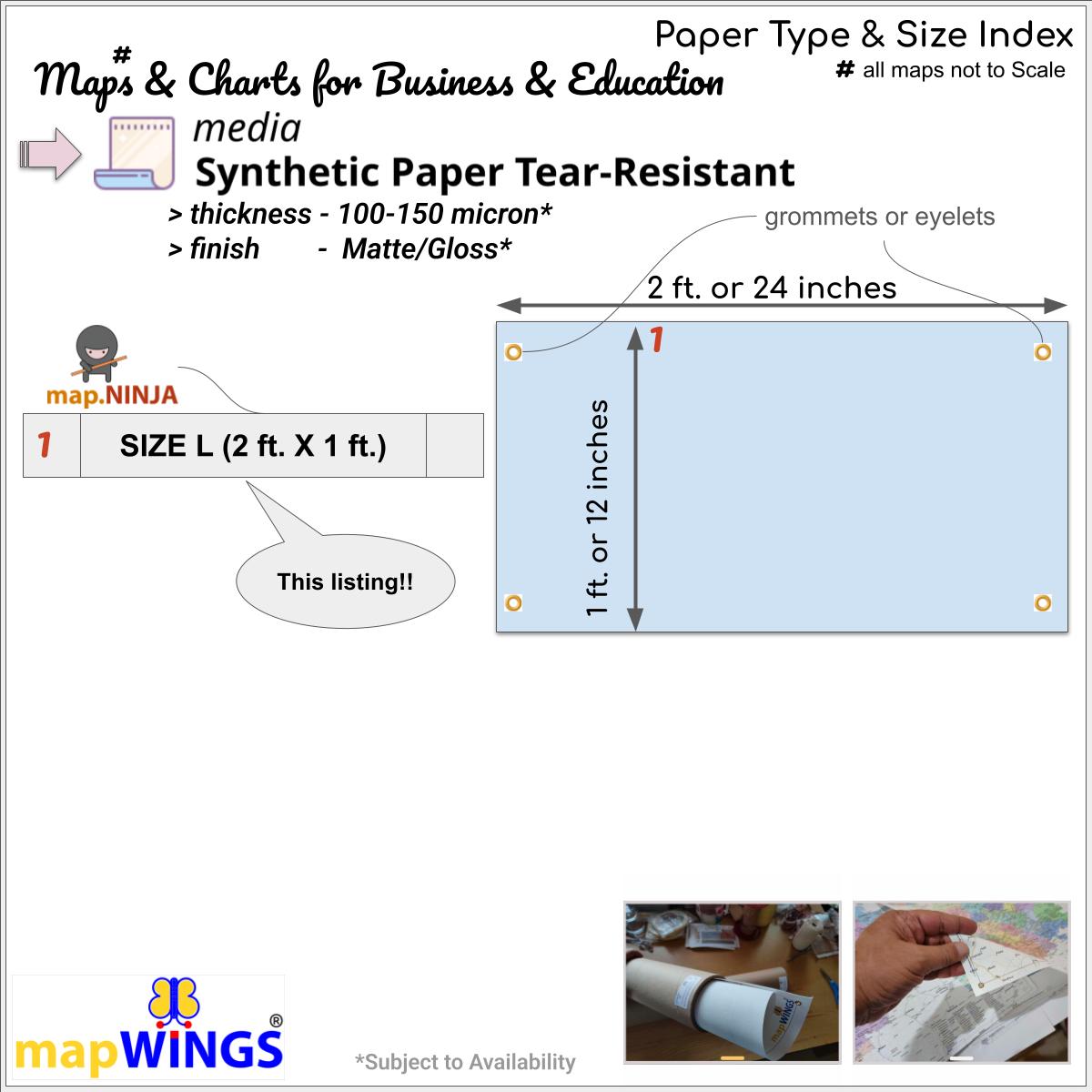
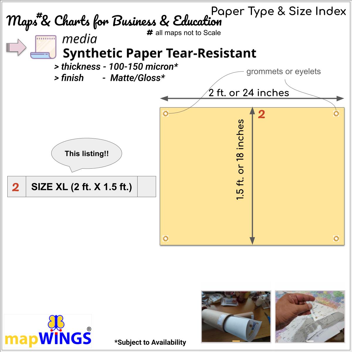
Map of districts of | state of BIHAR | with with Population classified Towns and Locations, Highways (including NH#), Rail and State/District Boundaries with informative map-Legend and Map-Index. The map is printed on Superlative Quality ~Tear-Resistant SYNTHETIC PAPER for clarity, full color and long life.
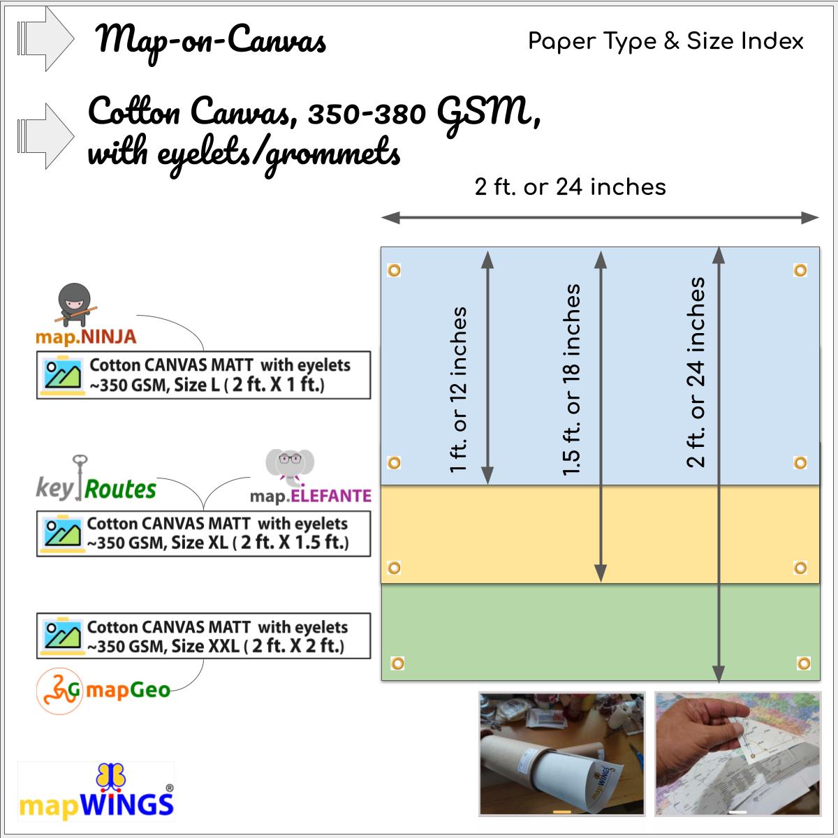
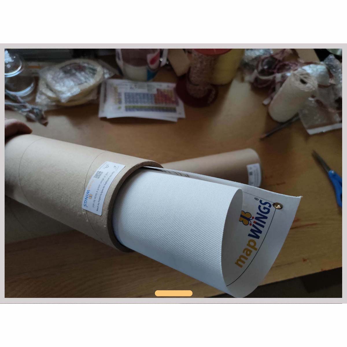
mapWINGS provide Accurate and Professional maps suitable for students, office goers, sales/marketing/field professionals and map-enthusiasts looking for maps for educational and information purposes. Rolled & Packed professionally in a reusable 4 mm thick, 13-27 inch length, PAPER PACKAGING TUBE or TUBE MAILER for map safety and withstanding all kinds of shipping stress.