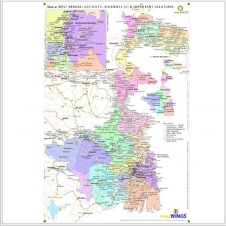
Description
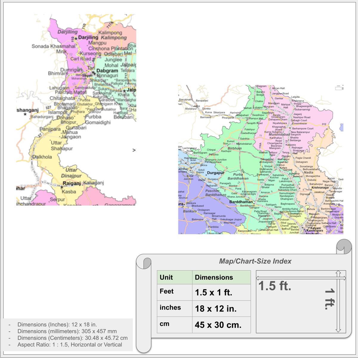
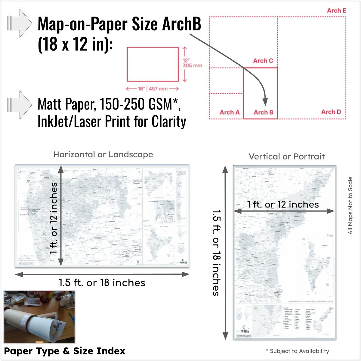
Map of districts of | state of WEST BENGAL | with with Population classified Towns and Locations, Highways (including NH#), Rail and State/District Boundaries with informative map-Legend and Map-Index. The map is printed on Superlative Quality ~MATTE CARD PAPER (150-250 GSM) for clarity, full color and convenient portability.
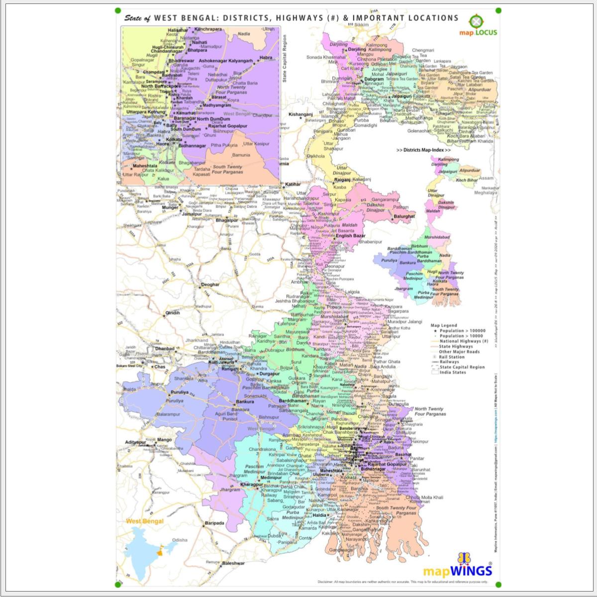
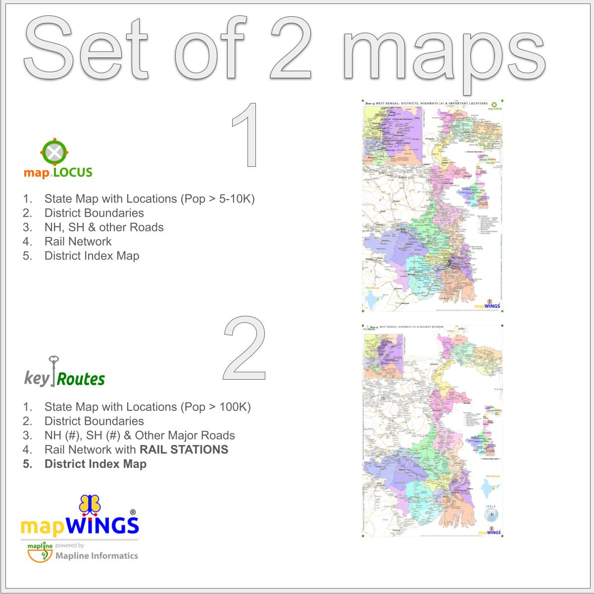
MAP-1: WEST BENGAL: map.LOCUS: Map with Population classified Towns and Villages (Locus means Locations), Highways, Rail and District Boundaries with informative map-Legend and Districts Map-Index.
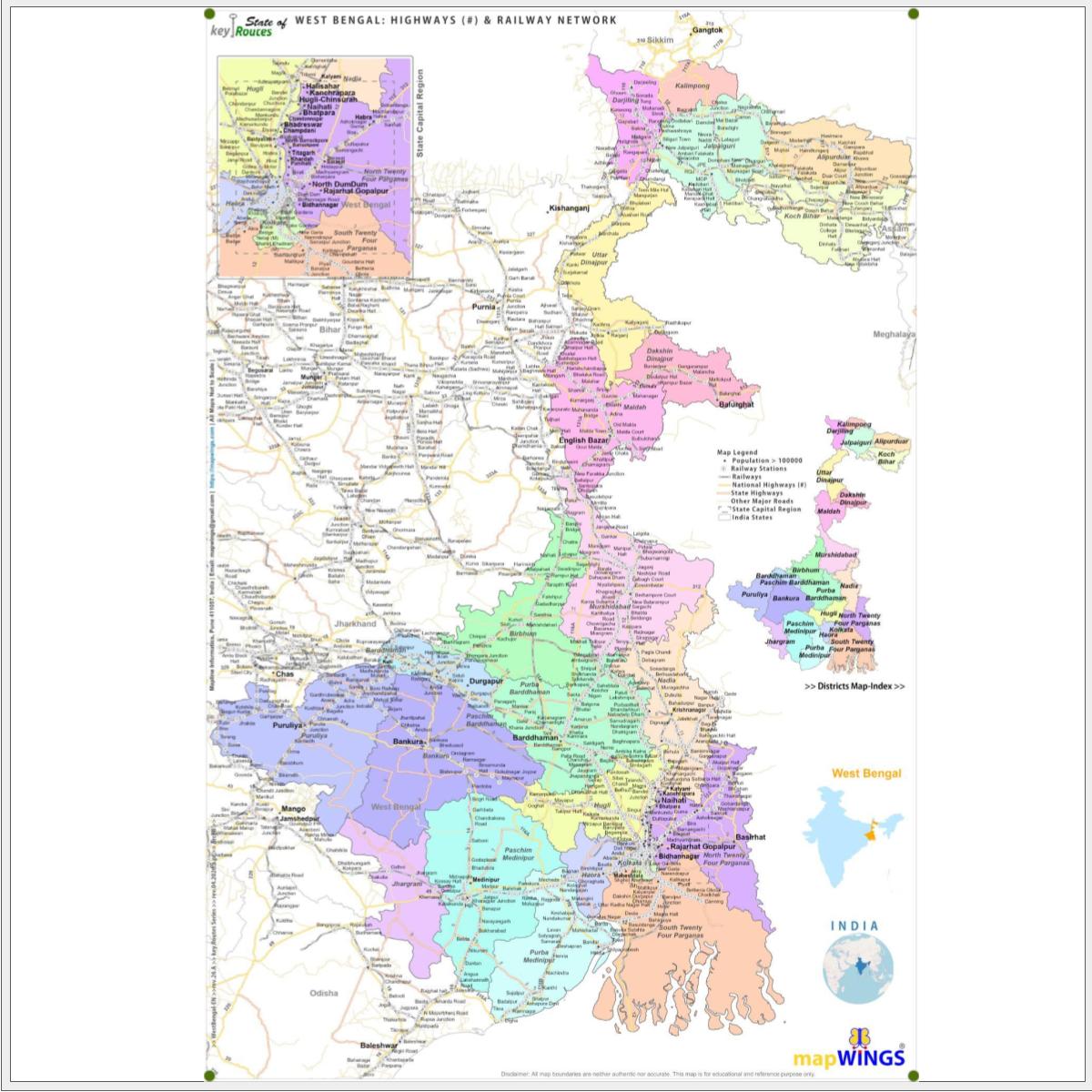
MAP-2: WEST BENGAL: key.ROUTES: Map with National Highways and Railways Network and RAIL STATIONS with informative map-Legend and Districts Map-Index.
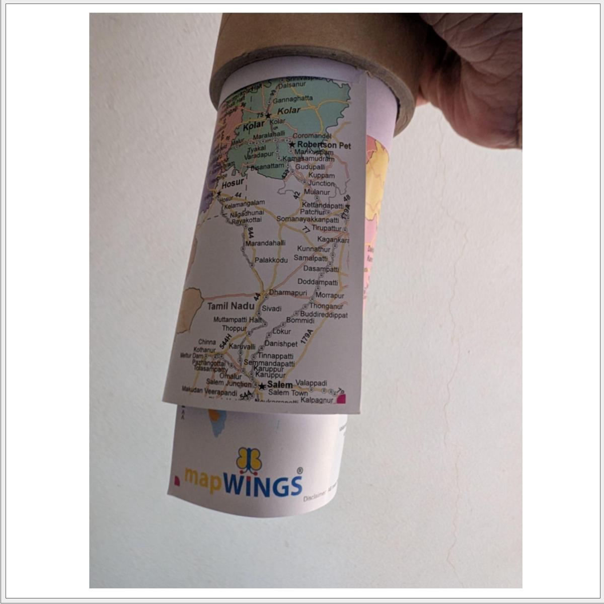
mapWINGS provide Accurate and Professional maps suitable for students, office goers, sales/marketing/field professionals and map-enthusiasts looking for maps for educational and information purposes. Rolled & Packed professionally in a reusable 4 mm thick, 13 inch length, PAPER PACKAGING TUBE or TUBE MAILER for map safety and withstanding all kinds of shipping stress.